China shows off its newest satellite’s high-resolution 3D imagery
---
- 11-12-2019, 18:51
INA – SOURCES
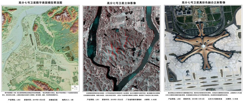
China launched the Gaofen-7 imaging satellite in November, and the country has just shared the first of its high-resolution, 3D shots. The satellite is sensitive enough to height that it should be able to spot a single person from 500 kilometers up.
Gaofen-7 is the latest in a planned series of 14 satellites intended to overhaul China’s orbital imaging capabilities. Companies like Planet are lofting hundreds of satellites to provide terrestrial businesses with up-to-date imagery, so it’s natural that China, among other countries, would want to have their own.
Already the Gaofen project has led to a huge reduction in reliance on foreign sources for this critical data, which as frictions in other areas of technology have shown, may not always be possible to rely on.
Each new satellite has added unique or improved capabilities to the constellation, using different orbits and equipment to provide different data to the surface. Gaofen-7 combines multispectral cameras with highly precise laser altimetry to provide extremely detailed 3D images of structures and land forms.
Under ideal conditions, the satellite can produce color imagery at a sub-meter resolution, meaning objects less than a meter across can be detected, and with about 1.5 meter resolution for depth. So if a person is lying down, it’ll see them — and if they stand up, it’ll see them too.
Gaofen-7 has already taken thousands of images and is intended to last at least eight years in orbit. Some of the imagery from the project will be made globally available, but Gaofen-7’s will probably be proprietary for some time to come.


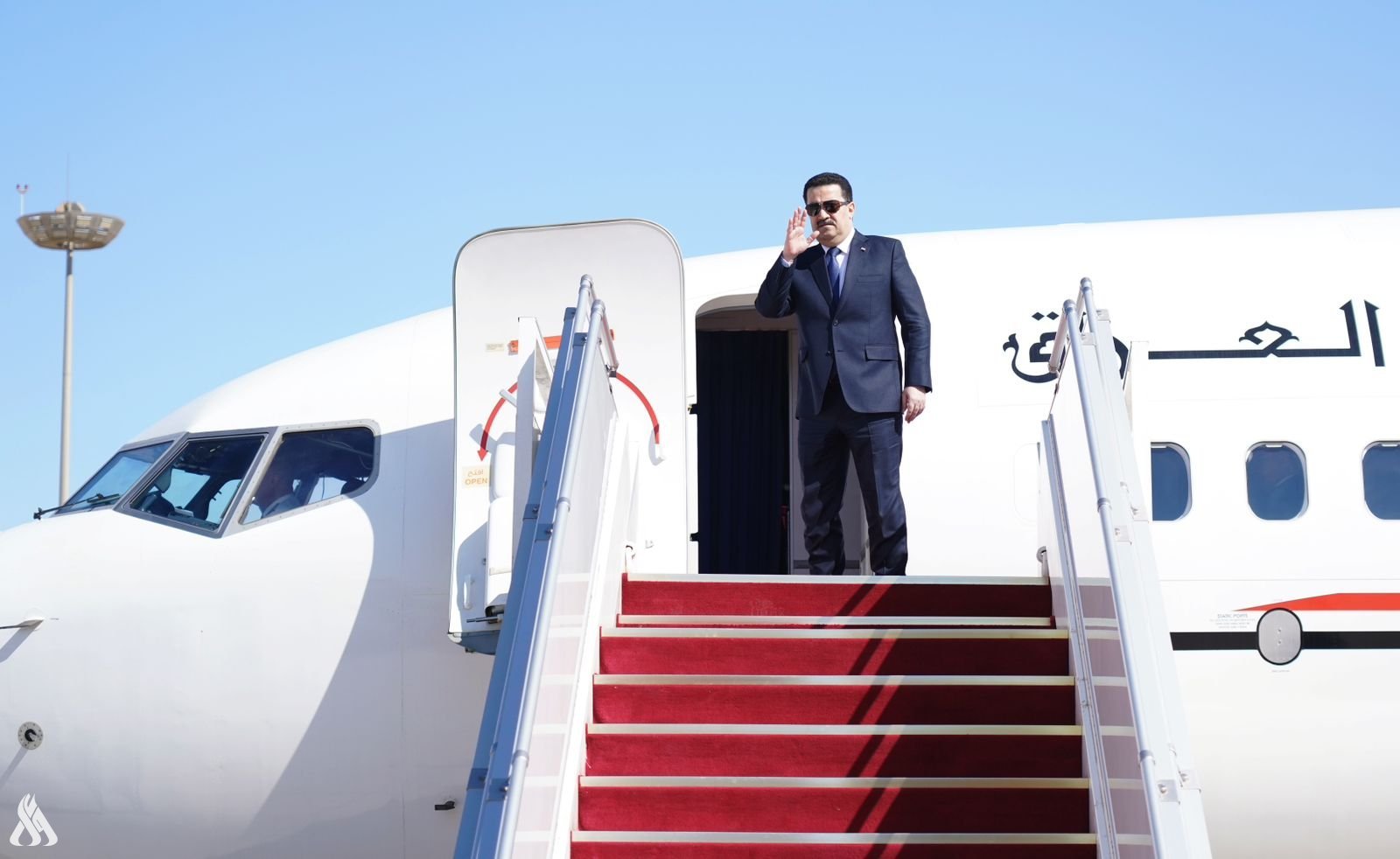
President Rashid returns to Baghdad after visiting Jordan
- politics
- 09:22

PM meets Stellar Energy delegation in Washington
- politics
- 06:42

ICAA announces the reopening of Iraqi airspace
- Local
- 24/04/14
Experts and lawmakers emphasize the strategic significance of Al-Sudani's visit to Washington
- Investigations and reports
- 24/04/12
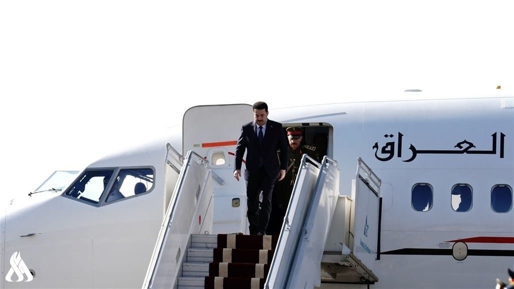
The Prime Minister arrives in Washington, DC
- politics
- 24/04/14

PM Al-Sudani meets US President Biden at the White House
- politics
- 24/04/15